Short teaser of competitions terrains to have something to look forward on. Both competition and training terrains are in the reach of public transport, so there is no need to have a car at all. Just take the train, bus or airplane to get to Brno and then use our public transport!
Sprint Mendlovo náměstí (3.4.)
New terrain with no previous orienteering map. You can explore this terrain using mapy.cz portal, which is providing the most detailed base maps in Czech Republic.
Very varied terrain containing open parks, narrow streets and passages, areas with large buildings, common urban streets, overgrown gardens and bushy slopes. Everything within 15 minutes of enjoy :-)
Adam Chromý, course setter of sprint
Long and Relay Bystrc (4.4. and 5.4.)
This terrain has been used several times, the biggest competition was Orienteering World Cup 2002. Since then, northern part has been remapped in 2004 (the competition area) and southern part in 2016 (the training area). The left image shows compilation of the newest maps, right image displays MTBO map from 2017. You can also explore this terrain using mapy.cz portal, which is providing the most detailed base maps in Czech Republic.

Last o-maps compilation 
Last map at all – MTBO
Compilation of last o-maps can be downloaded in high resolution here: GIF file (7MB)
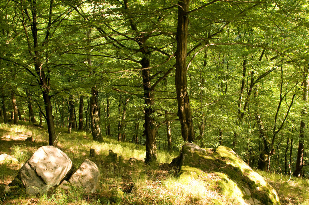
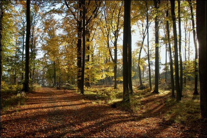
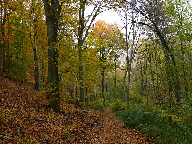
Central european forest with deep valleys, various runnability and partially with small and tricky vegetation details. It will be fast, but not simple. Maps skills and endurance will be the decisive factor.
Jakub Zimmermann, course setter of long distance


